
The Tarilta Walk is a new and spectacular addition to our GPS guided Forest Walks.
Set in the dryer and sunnier northern slopes of the Great Dividing Range in the Mt Franklin area, a fifteen minute drive from Daylesford, this is one for the more adventurous walker.
The terrain is hilly and the tracks wind through river flats, gullies and down and across basalt ridges. Everywhere is a view. No two places seem the same. The Tarilta creek is generally dry and stony through summer and gently meandering during the wet months. It looks good in either guise. You’ll cross it twice on your journey. Another wet season feature is Tarilta Falls. Here the landscape and vegetation take on a different and intriguing character. Haven’t seen it in flow. It’s probably a rare event. But the natural features make an arresting sight.
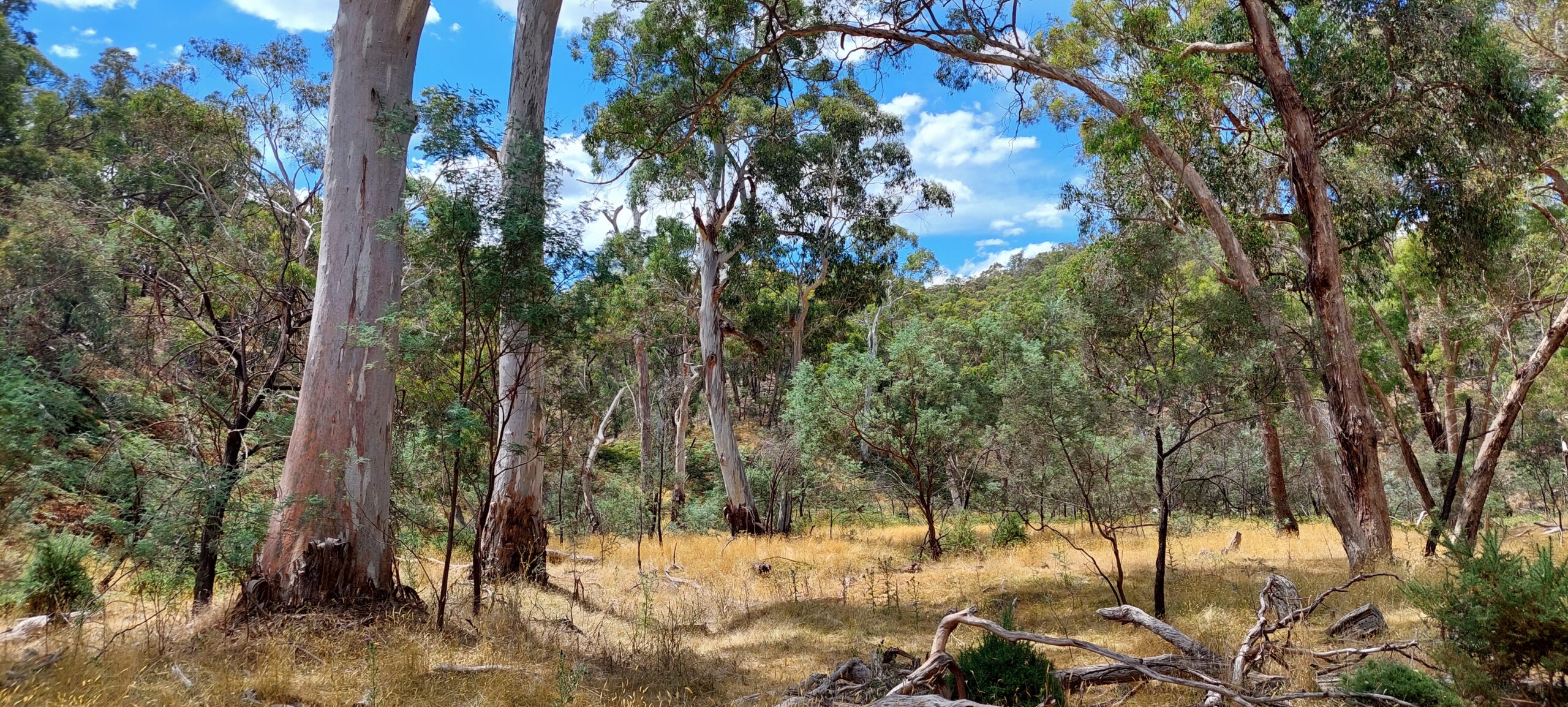
The eucalypts are highly varied, with tough Box varieties on the ridges while some grand Manna Gums and the occasional Redgum can be found on the river flat areas. Boulders and rocky ledges are an added attraction. The track varies from highly visible to very much relying on the GPS for navigation in a few places. Hand made timber track guides are used as aides in these areas. The last leg is through rolling pastoral country, with the permission of the landholder.
The Tarilta Walk is a richly varied and highly rewarding walk. It’s time to share it.


